 My Korea Tour

Stop 1
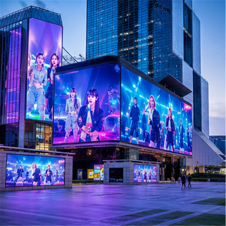
COEX K-POP Square
Gangnam / Samseong
Day 2 option: Gangnam start
- When
- 10:00 morning start
- Stay
- 45-60 min
- Move next
- Subway or taxi
Cross town toward Bukchon; compare subway and taxi timing before you leave Gangnam.
Fan route
A conservative Seoul route for fans, separating source-backed places from optional stops that fit the city's K-pop setting.
1-day suggested route
Follow these stops in order, then use live maps between each stop for current transit or walking directions.
Stop 1
Gangnam / Samseong
Day 2 option: Gangnam start
Cross town toward Bukchon; compare subway and taxi timing before you leave Gangnam.
Subway or taxi · Cross town from Gangnam/Samseong to Jongno. Subway is usually the safer default; taxi can be easier if you want fewer transfers.
Stop 2
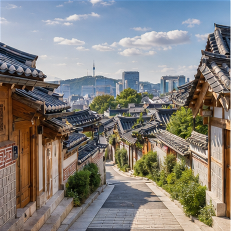
Jongno
Day 1: historic north Seoul
Continue toward Naksan Park / Daehak-ro for the closest next stop.
Short taxi, subway, or walk-plus-transit · This is the closest daytime move. Compare a short taxi with subway or bus options before leaving Bukchon.
Stop 3
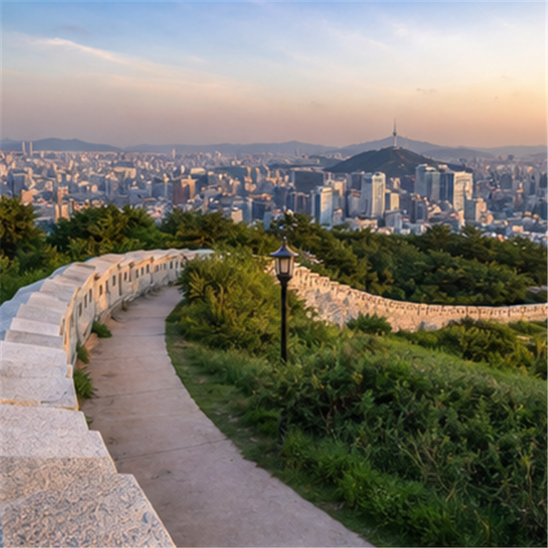
Jongno / Daehak-ro
Day 1: walk and views
Head toward Namsan for evening skyline views.
Subway or taxi · Move from the city-wall area toward Namsan for late-afternoon or sunset views.
Stop 4
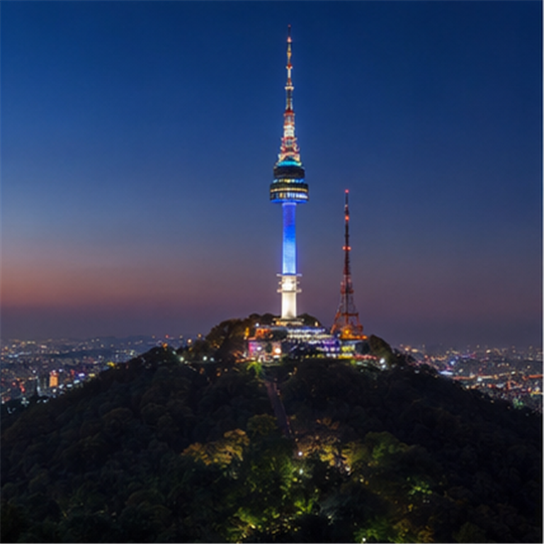
Namsan / Jung-gu
Day 1: sunset stop
Go down toward Myeongdong by bus, cable-car area walk, or taxi.
Bus, cable-car area walk, or taxi · Go down toward Myeongdong for dinner, shopping streets, and central-city lights.
Stop 5
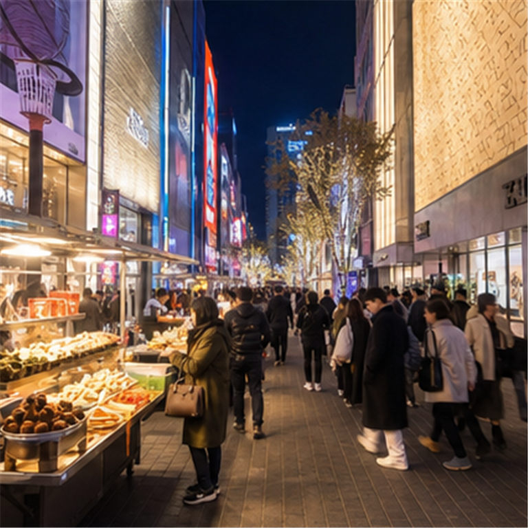
Myeongdong / Jung-gu
Day 1: food and lights
Continue to the Han River / Cheongdam Bridge night view if you still have energy.
Subway or taxi · Use this as an optional night-view extension across town toward the Han River.
Stop 6
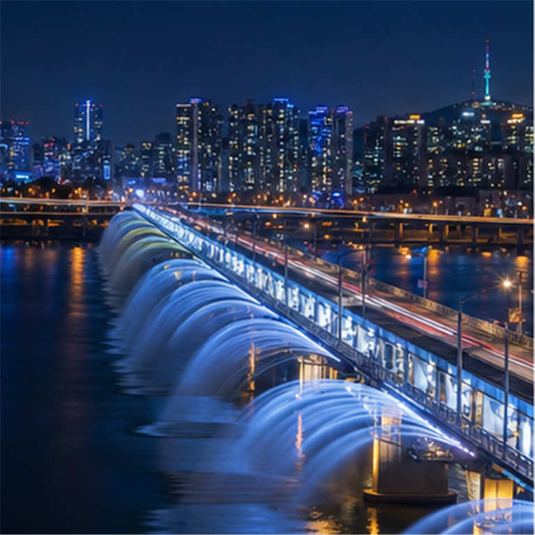
Gangnam / Ttukseom
Day 2 option: Han River night view
End here or use live maps back to your hotel.
Directly supported places
featured location
Gangnam / Samseong
A large digital-screen plaza included as a featured Seoul location for a KPop Demon Hunters themed route.
Source basis: Netflix Tudum; VisitKorea; Visit Seoul
Open in Google Maps
featured location
Jongno
A traditional hanok neighborhood included as a featured Seoul location for the film's historic city atmosphere.
Source basis: Netflix Tudum; VisitKorea; Visit Seoul
Open in Google Maps
featured location
Jongno / Daehak-ro
A hillside park and city-wall area included as a featured Seoul location for skyline walks.
Source basis: Netflix Tudum; VisitKorea; Visit Seoul
Open in Google Maps
Seoul setting reference
Namsan / Jung-gu
A Seoul landmark and real-life reference for skyline views associated with the film's Seoul setting.
Source basis: Netflix Tudum; VisitKorea; Visit Seoul
Open in Google Maps
Seoul setting reference
Myeongdong / Jung-gu
A busy shopping and street-food area used as a Seoul setting reference for bright central-city energy.
Source basis: Netflix Tudum; VisitKorea; Visit Seoul
Open in Google Maps
featured location
Gangnam / Ttukseom
A Han River crossing included as a featured Seoul location for city-night route planning.
Source basis: Netflix Tudum; VisitKorea; Visit Seoul
Open in Google MapsOptional fan-route stops
optional fan-route stop
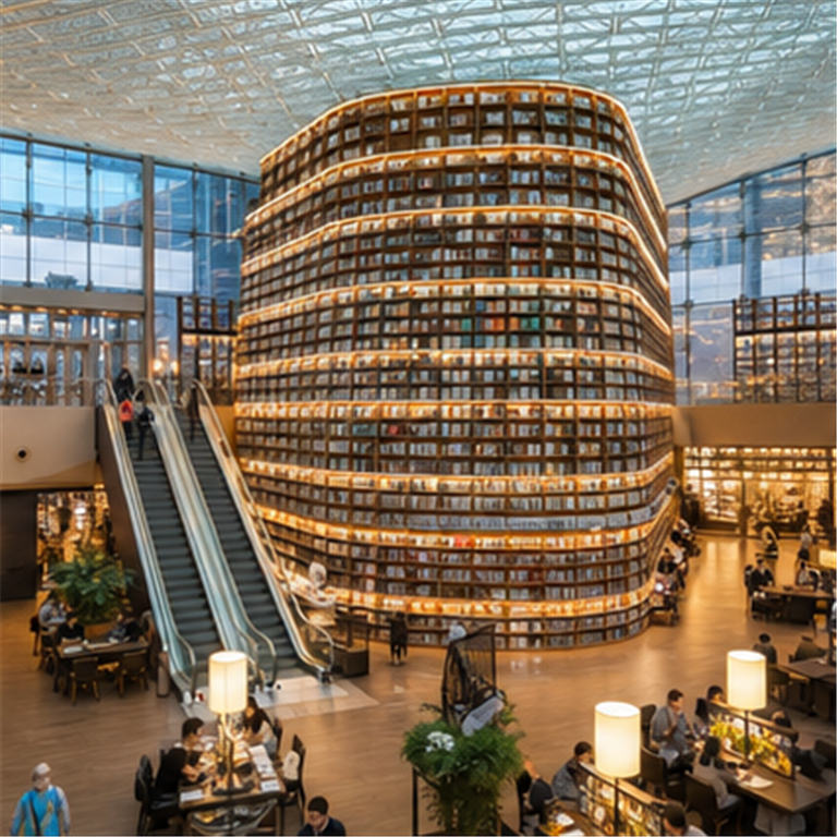
Gangnam / Samseong
An optional fan-route stop near COEX for visitors exploring modern Seoul settings connected with K-pop culture.
Open in Google Maps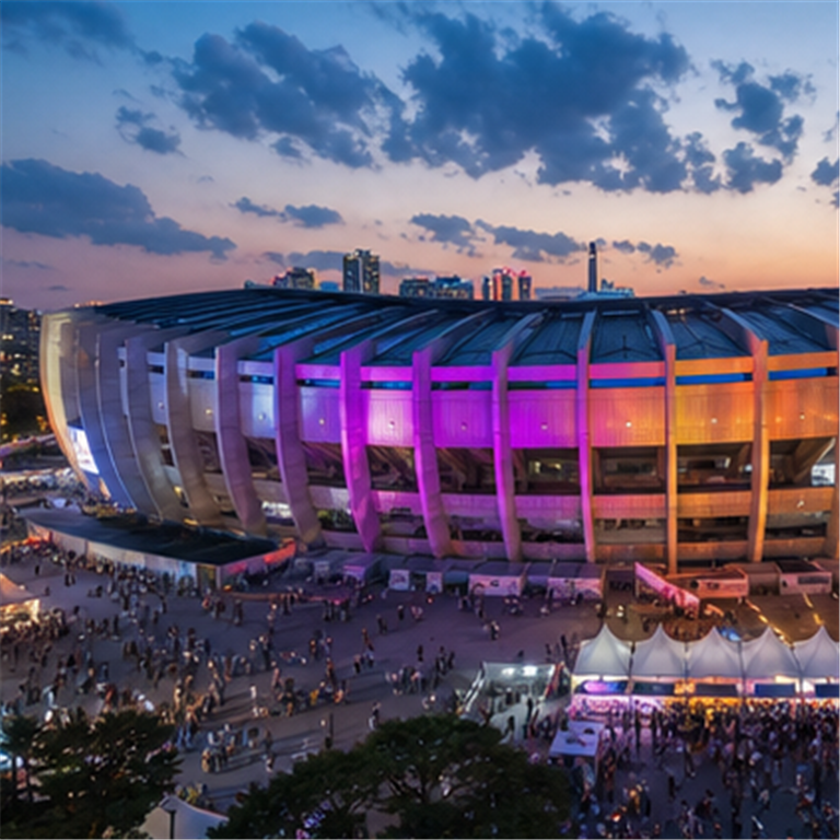
optional fan-route stop
Jamsil
An optional fan-route stop tied to Seoul concert culture, not a confirmed movie location.
Open in Google MapsFAQ
No. KPop Demon Hunters is an animated film, and this page does not claim filming locations. It is a suggested Seoul travel route, not an official tour.
The directly supported section lists source-backed Seoul places from the curated route data, with source basis shown for each supported place.
Optional fan-route stops are Seoul places that fit the K-pop setting or nearby route, but are separated from source-backed places.
Yes, the 1-day suggested route is a compact Seoul travel route using only directly supported places, but you can slow it down if you want more time at each stop.