 My Korea Tour
Using More Than One Map Check
NAVER Map, KakaoMap, Google Maps, and other tools may show different search results, transit details, walking paths, or language support. Use them as planning aids, not as route confirmation.
Korea Travel Guide
Prepare to use NAVER Map, KakaoMap, Google Maps, and local signs together when moving around Korea. This guide is static planning help, not a live route, fare, transit, or location service.
Map app coverage, route details, language support, transit information, walking directions, fares, and service conditions can vary. Check current route details in the app and with local signs or staff before relying on plans.
Reviewed: July 7, 2026
NAVER Map, KakaoMap, Google Maps, and other tools may show different search results, transit details, walking paths, or language support. Use them as planning aids, not as route confirmation.
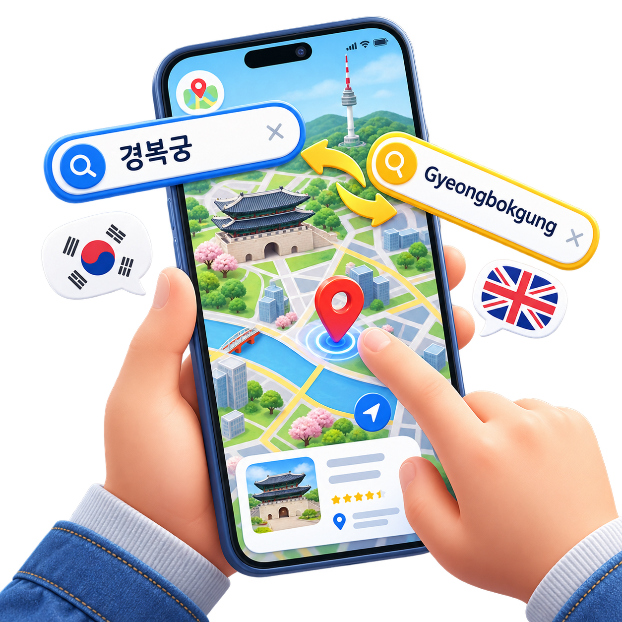
Place names can appear differently across apps. Save the Korean name or address where practical, especially for taxi, accommodation, and station-exit planning.
Large stations can have many exits, stairs, underground passages, and walking choices. Confirm signs and local conditions before leaving the station.
Keep your destination name and address in Korean and English where practical. This can help when showing a driver or checking a pickup point.
Official sources
Official Tmoney source for current mobility and payment service information.
Open official sourceOfficial Seoul Metro source for current subway service details.
Open official sourceRelated guides